| Item Detail |
| |
| |
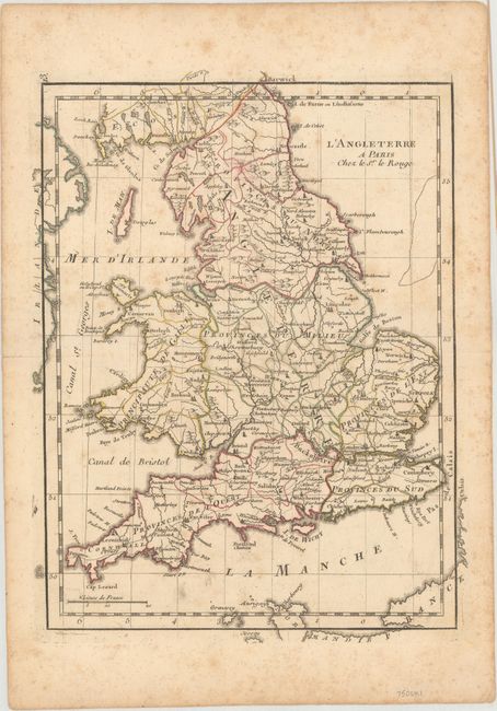
MapMaker: |
George Louis Le Rouge
|
|
| |
| |
Subject: |
England & Wales |
|
| |
Period/Size: |
1750 / 11.3" x 8.6" (28.7 x 21.9 cm)
|
|
| |
Color: |
Colored
|
|
| |
Condition: |
(B) A crisp impression with light toning and scattered foxing, minor soiling, and several small holes that have been closed on verso with archival materials. There is a short centerfold separation confined to the left blank margin. (condition help) |
|
| |
Source: |
Atlas Nouveau Portatif... |
|
| |
References: |
|
|
| |
|
|
| Sales Information |
| |
| |
Price: |
|
|
| |
| |
Offered by: |
Old World Auctions |
|
| |
Catalog: |
Auction No. 162 - Antique Maps, Charts, Atlases & Globes (9354) |
|
| |
Lot/Item #: |
445 |
|
| |
| |
Date: |
04/2017
|
|
| |
| |
|