Title:
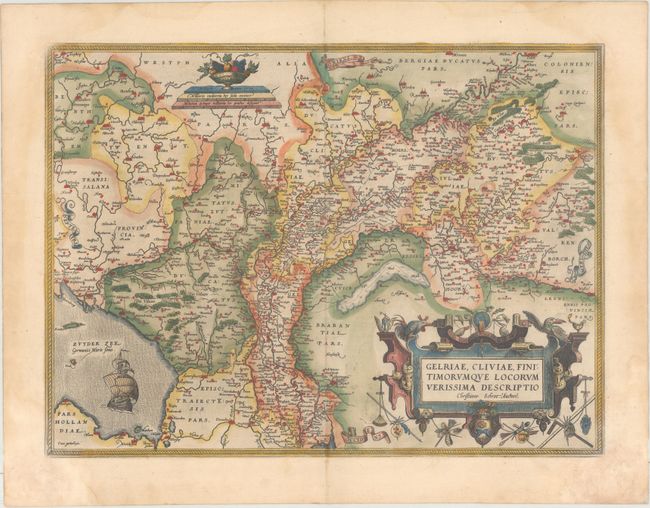
“Gelriae, Cliviae, Finitimorumque Locorum Verissima Descriptio Christiano Schrot. Auctore”
Map Maker:
Abraham Ortelius
This superb map is Ortelius' first plate covering ... (full text available to subscribers)
| Item Detail |
| |
| |
MapMaker: |
Abraham Ortelius
|
|
| |
| |
Subject: |
Netherlands |
|
| |
Period/Size: |
1573 / 14.6" x 19.7" (37.1 x 50.1 cm)
|
|
| |
Color: |
Colored
|
|
| |
Condition: |
(B+) Full original color on paper with the crossed arrows watermark commonly found in Ortelius' atlases. There are damp stains that extend along the sides of the sheet, entering the map a bit in the corners, and causing some paper weakness in the bottom (condition help) |
|
| |
Source: |
Theatrum Orbis Terrarum |
|
| |
References: |
Van den Broecke #61.1. |
|
| |
|
|
| Sales Information |
| |
| |
Price: |
|
|
| |
| |
Offered by: |
Old World Auctions |
|
| |
Catalog: |
Auction No. 162 - Antique Maps, Charts, Atlases & Globes (9354) |
|
| |
Lot/Item #: |
464 |
|
| |
| |
Date: |
04/2017
|
|
| |
| |
|
Antique Maps - Valuation and Pricing, Descriptions, Resources |
|
Home |
Information |
Search |
Register |
Contact Us |
Site Map
Americana Exchange, Inc. © 1999 - 2024 Americana Exchange, Inc.. All rights reserved.
OldMaps.com, the OldMaps.com logo and
AMPR are service marks or registered service marks of Americana Exchange, Inc..
|