| Item Detail |
| |
| |
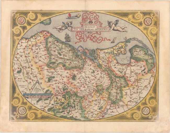
MapMaker: |
Abraham Ortelius
|
|
| |
| |
Subject: |
Low Countries |
|
| |
Period/Size: |
1573 / 15.0" x 20.0" (38.1 x 50.8 cm)
|
|
| |
Color: |
Colored
|
|
| |
Condition: |
(B+) Full original color on paper with the crossed arrows watermark commonly found in Ortelius' atlases. There are damp stains that extend along the sides of the sheet, entering the map a bit in the corners, and causing some paper weakness in the bottom (condition help) |
|
| |
Source: |
Theatrum Orbis Terrarum |
|
| |
References: |
Van den Broecke #58. |
|
| |
|
|
| Sales Information |
| |
| |
Price: |
|
|
| |
| |
Offered by: |
Old World Auctions |
|
| |
Catalog: |
Auction No. 162 - Antique Maps, Charts, Atlases & Globes (9354) |
|
| |
Lot/Item #: |
472 |
|
| |
| |
Date: |
04/2017
|
|
| |
| |
|