| Item Detail |
| |
| |
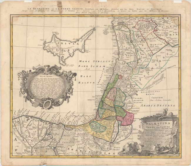
MapMaker: |
Homann Heirs
|
|
| |
| |
Subject: |
Holy Land, Cyprus |
|
| |
Period/Size: |
1744 / 18.2" x 21.6" (46.3 x 54.9 cm)
|
|
| |
Color: |
Colored
|
|
| |
Condition: |
(B+) Original color on watermarked paper with light printer's ink residue and a centerfold separation that just enters map image at bottom. There are light damp stains and mildew stains at top and bottom, entering about 1" into map at bottom and top righ (condition help) |
|
| |
Source: |
|
|
| |
References: |
Laor #324. |
|
| |
|
|
| Sales Information |
| |
| |
Price: |
|
|
| |
| |
Offered by: |
Old World Auctions |
|
| |
Catalog: |
Auction No. 162 - Antique Maps, Charts, Atlases & Globes (9354) |
|
| |
Lot/Item #: |
634 |
|
| |
| |
Date: |
04/2017
|
|
| |
| |
|