| Item Detail |
| |
| |
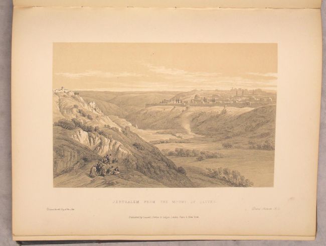
MapMaker: |
David Roberts
|
|
| |
| |
Subject: |
Holy Land |
|
| |
Period/Size: |
1879 / 10.0" x 13.0" (25.4 x 33.1 cm)
|
|
| |
Color: |
Black & White
|
|
| |
Condition: |
(B+) Condition grade is for the plates, which have light toning and scattered foxing throughout. The foxing is more prominent on the text pages, and many plates are clean and bright without any foxing. The first signature is almost entirely separated, a (condition help) |
|
| |
Source: |
|
|
| |
References: |
|
|
| |
|
|
| Sales Information |
| |
| |
Price: |
|
|
| |
| |
Offered by: |
Old World Auctions |
|
| |
Catalog: |
Auction No. 162 - Antique Maps, Charts, Atlases & Globes (9354) |
|
| |
Lot/Item #: |
635 |
|
| |
| |
Date: |
04/2017
|
|
| |
| |
|