| Item Detail |
| |
| |
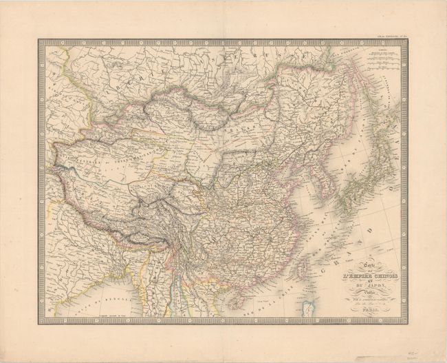
MapMaker: |
J. Andriveau-Goujon
|
|
| |
| |
Subject: |
China, Korea & Japan |
|
| |
Period/Size: |
1850 / 15.3" x 19.6" (38.9 x 49.8 cm)
|
|
| |
Color: |
Colored
|
|
| |
Condition: |
(A) Original outline color with very minor toning, a centerfold separation at top that has been repaired with old paper on verso, and a few tiny spots of foxing, primarily confined to the blank margins. (condition help) |
|
| |
Source: |
Atlas Universel |
|
| |
References: |
|
|
| |
|
|
| Sales Information |
| |
| |
Price: |
|
|
| |
| |
Offered by: |
Old World Auctions |
|
| |
Catalog: |
Auction No. 162 - Antique Maps, Charts, Atlases & Globes (9354) |
|
| |
Lot/Item #: |
672 |
|
| |
| |
Date: |
04/2017
|
|
| |
| |
|