| Item Detail |
| |
| |
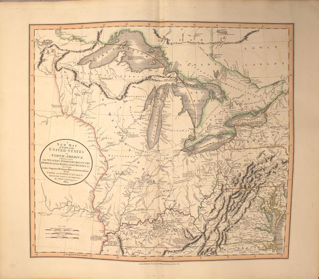
MapMaker: |
John Cary
|
|
| |
| |
Subject: |
Atlases |
|
| |
Period/Size: |
1808 / 21.9" x 14.8" (55.7 x 37.6 cm)
|
|
| |
Color: |
Colored
|
|
| |
Condition: |
() The maps are all in original outline color, and the majority are clean and bright in near fine (A) or very good (B+) condition, with light offsetting, minor soiling, occasional misfolds, or short (less than 2") centerfold separations (including the map (condition help) |
|
| |
Source: |
|
|
| |
References: |
|
|
| |
|
|
| Sales Information |
| |
| |
Price: |
|
|
| |
| |
Offered by: |
Old World Auctions |
|
| |
Catalog: |
Auction No. 162 - Antique Maps, Charts, Atlases & Globes (9354) |
|
| |
Lot/Item #: |
771 |
|
| |
| |
Date: |
04/2017
|
|
| |
| |
|