| Item Detail |
| |
| |
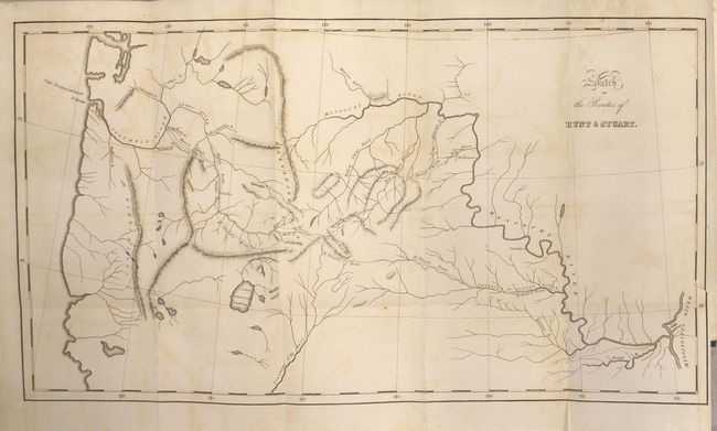
MapMaker: |
Washington Irving
|
|
| |
| |
Subject: |
Exploration & Surveys, Western United States |
|
| |
Period/Size: |
1836 / 9.0" x 6.0" (22.9 x 15.3 cm)
|
|
| |
Color: |
Black & White
|
|
| |
Condition: |
(B) The map has light offsetting, a 0.5" binding tear at right, and two short fold separations confined to the bottom blank margin. Text has light scattered foxing. Covers have average wear. (condition help) |
|
| |
Source: |
|
|
| |
References: |
Howes #I81; Wheat (TMW) #419. |
|
| |
|
|
| Sales Information |
| |
| |
Price: |
|
|
| |
| |
Offered by: |
Old World Auctions |
|
| |
Catalog: |
Auction No. 162 - Antique Maps, Charts, Atlases & Globes (9354) |
|
| |
Lot/Item #: |
785 |
|
| |
| |
Date: |
04/2017
|
|
| |
| |
|