| Item Detail |
| |
| |
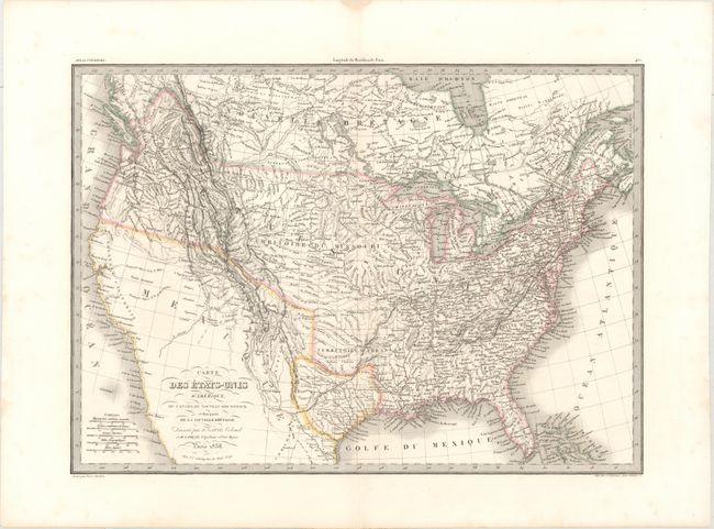
MapMaker: |
Lapie/Tardieu
|
|
| |
| |
Subject: |
United States & Canada, Texas |
|
| |
Period/Size: |
1838 / 15.5" x 21.6" (39.4 x 54.9 cm)
|
|
| |
Color: |
Colored
|
|
| |
Condition: |
(A) A crisp impression on a bright sheet with two short edge tears confined to the left blank margin that have been closed on verso with archival tape. (condition help) |
|
| |
Source: |
Atlas Universel de Geographie Ancienne et Moderne |
|
| |
References: |
|
|
| |
|
|
| Sales Information |
| |
| |
Price: |
|
|
| |
| |
Offered by: |
Old World Auctions |
|
| |
Catalog: |
Auction No. 163 - Antique Maps, Charts, Atlases & Globes (9365) |
|
| |
Lot/Item #: |
51 |
|
| |
| |
Date: |
06/2017
|
|
| |
| |
|