| Item Detail |
| |
| |
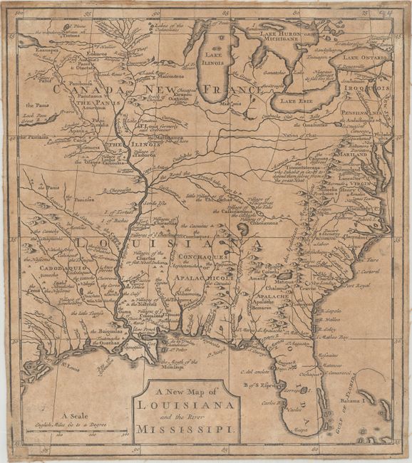
MapMaker: |
Anonymous
|
|
| |
| |
Subject: |
Colonial Eastern United States |
|
| |
Period/Size: |
1720 / 10.3" x 9.1" (26.2 x 23.2 cm)
|
|
| |
Color: |
Black & White
|
|
| |
Condition: |
(B) Moderate toning, light soiling, and a few extraneous crease. Trimmed close to the neatlines and backed in linen. There are a couple of minor pencil notations and old paper repairs on recto within the map border. (condition help) |
|
| |
Source: |
|
|
| |
References: |
Cumming (SE) #176. |
|
| |
|
|
| Sales Information |
| |
| |
Price: |
|
|
| |
| |
Offered by: |
Old World Auctions |
|
| |
Catalog: |
Auction No. 163 - Antique Maps, Charts, Atlases & Globes (9365) |
|
| |
Lot/Item #: |
97 |
|
| |
| |
Date: |
06/2017
|
|
| |
| |
|