| Item Detail |
| |
| |
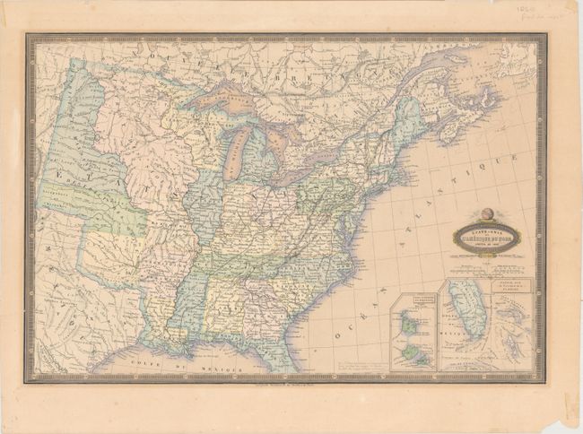
MapMaker: |
Francis Garnier
|
|
| |
| |
Subject: |
Eastern United States |
|
| |
Period/Size: |
1860 / 13.3" x 19.7" (33.8 x 50.1 cm)
|
|
| |
Color: |
Colored
|
|
| |
Condition: |
(B+) Original color with light toning, a few small spots of foxing, and a short tear that just enters the neatline at left and has been closed on verso with archival tape. There are several small chips and tiny tears along the edges of the sheet, well aw (condition help) |
|
| |
Source: |
Atlas Spheroidal & Universel de Geographie |
|
| |
References: |
|
|
| |
|
|
| Sales Information |
| |
| |
Price: |
|
|
| |
| |
Offered by: |
Old World Auctions |
|
| |
Catalog: |
Auction No. 163 - Antique Maps, Charts, Atlases & Globes (9365) |
|
| |
Lot/Item #: |
133 |
|
| |
| |
Date: |
06/2017
|
|
| |
| |
|