| Item Detail |
| |
| |
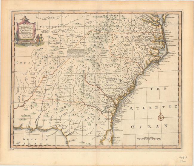
MapMaker: |
Emanuel Bowen
|
|
| |
| |
Subject: |
Colonial Southeastern United States |
|
| |
Period/Size: |
1747 / 13.7" x 16.8" (34.8 x 42.7 cm)
|
|
| |
Color: |
Colored
|
|
| |
Condition: |
(A) Nice impression and color with one tiny hole in the lower right corner of the image that is only visible when held to light. There are remnants of hinge tape on verso. (condition help) |
|
| |
Source: |
A Complete System of Geography |
|
| |
References: |
McCorkle (18th C. Geog. Books) #17-29 (Vol II); Cumming (SE) #263; Sellers & Van Ee #1380. |
|
| |
|
|
| Sales Information |
| |
| |
Price: |
|
|
| |
| |
Offered by: |
Old World Auctions |
|
| |
Catalog: |
Auction No. 163 - Antique Maps, Charts, Atlases & Globes (9365) |
|
| |
Lot/Item #: |
146 |
|
| |
| |
Date: |
06/2017
|
|
| |
| |
|