| Item Detail |
| |
| |
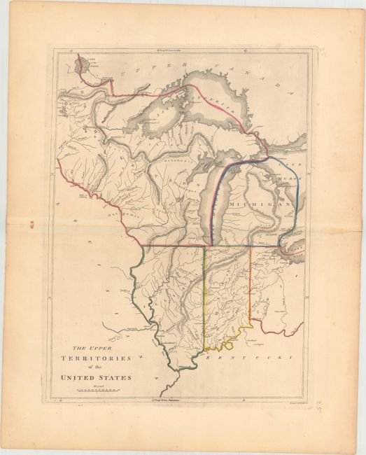
MapMaker: |
Mathew Carey
|
|
| |
| |
Subject: |
Central United States |
|
| |
Period/Size: |
1814 / 16.9" x 12.5" (43.0 x 31.8 cm)
|
|
| |
Color: |
Colored
|
|
| |
Condition: |
(A) Original color on watermarked paper with a few faint spots of foxing mostly in the blank margins and short fold separations at left and right confined to the blank margins. (condition help) |
|
| |
Source: |
Carey's General Atlas |
|
| |
References: |
Phillips (Atlases) #1372-25; Karpinski, p. 215. |
|
| |
|
|
| Sales Information |
| |
| |
Price: |
|
|
| |
| |
Offered by: |
Old World Auctions |
|
| |
Catalog: |
Auction No. 163 - Antique Maps, Charts, Atlases & Globes (9365) |
|
| |
Lot/Item #: |
191 |
|
| |
| |
Date: |
06/2017
|
|
| |
| |
|