| Item Detail |
| |
| |
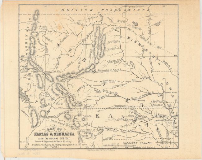
MapMaker: |
Edward E. Hale
|
|
| |
| |
Subject: |
Central United States, Kansas, Nebraska Territory |
|
| |
Period/Size: |
1854 / 6.8" x 7.5" (17.3 x 19.1 cm)
|
|
| |
Color: |
Black & White
|
|
| |
Condition: |
(B+) Issued folding with a few spots of foxing and minor extraneous creasing. (condition help) |
|
| |
Source: |
Kanzas and Nebraska: The History, Geographical and Physical Characteristics... |
|
| |
References: |
Sabin #29624; Wagner-Camp #239a. |
|
| |
|
|
| Sales Information |
| |
| |
Price: |
|
|
| |
| |
Offered by: |
Old World Auctions |
|
| |
Catalog: |
Auction No. 163 - Antique Maps, Charts, Atlases & Globes (9365) |
|
| |
Lot/Item #: |
197 |
|
| |
| |
Date: |
06/2017
|
|
| |
| |
|