| Item Detail |
| |
| |
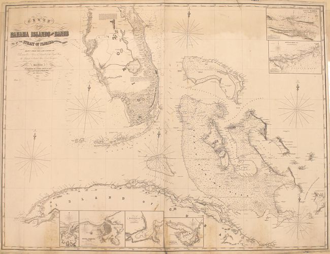
MapMaker: |
James Imray, Sr.
|
|
| |
| |
Subject: |
Florida, Cuba, Bahamas |
|
| |
Period/Size: |
1852 / 38.2" x 50.2" (97.1 x 127.5 cm)
|
|
| |
Color: |
Black & White
|
|
| |
Condition: |
(B) There is light dampstaining at the top of the image along the border and scattered foxing along the bottom border and the joint. The joint is separating just a bit at bottom and there is a short edge tear at top that extends 2" into the image. (condition help) |
|
| |
Source: |
|
|
| |
References: |
|
|
| |
|
|
| Sales Information |
| |
| |
Price: |
|
|
| |
| |
Offered by: |
Old World Auctions |
|
| |
Catalog: |
Auction No. 163 - Antique Maps, Charts, Atlases & Globes (9365) |
|
| |
Lot/Item #: |
266 |
|
| |
| |
Date: |
06/2017
|
|
| |
| |
|