| Item Detail |
| |
| |
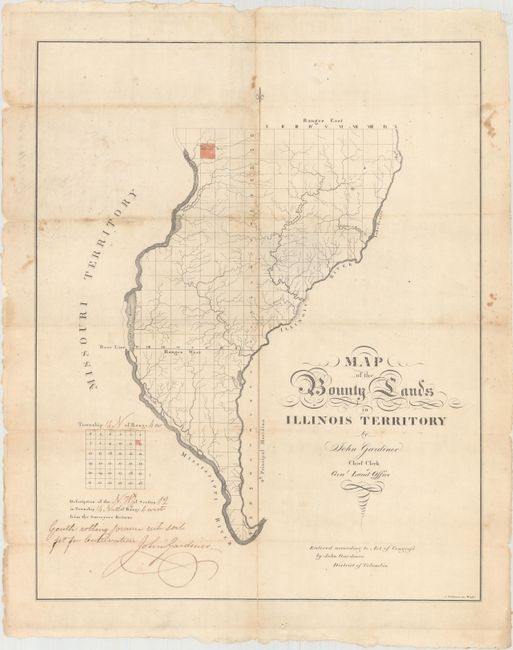
MapMaker: |
John Gardiner
|
|
| |
| |
Subject: |
Western Illinois |
|
| |
Period/Size: |
1818 / 18.5" x 14.8" (47.0 x 37.6 cm)
|
|
| |
Color: |
Colored
|
|
| |
Condition: |
(B) Issued folding and now flattened with minor foxing, several tiny minuscule holes along the folds, and numerous fold separations that have been archivally repaired on verso with minor loss of image. (condition help) |
|
| |
Source: |
|
|
| |
References: |
Streeter #1430; Phillips (Maps) pg. 326. |
|
| |
|
|
| Sales Information |
| |
| |
Price: |
|
|
| |
| |
Offered by: |
Old World Auctions |
|
| |
Catalog: |
Auction No. 163 - Antique Maps, Charts, Atlases & Globes (9365) |
|
| |
Lot/Item #: |
286 |
|
| |
| |
Date: |
06/2017
|
|
| |
| |
|