| Item Detail |
| |
| |
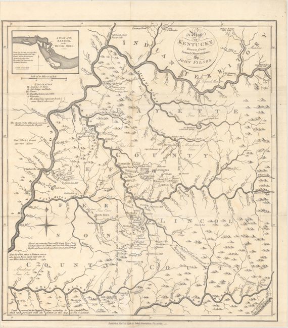
MapMaker: |
John Filson
|
|
| |
| |
Subject: |
Kentucky |
|
| |
Period/Size: |
1793 / 19.5" x 17.9" (49.6 x 45.5 cm)
|
|
| |
Color: |
Black & White
|
|
| |
Condition: |
(B+) A sharp impression, issued folding with light soiling and offsetting, and now pressed and professionally backed with archival tissue to repair fold separations and tears. The repaired tears are all in the bottom third of the image, three of which ex (condition help) |
|
| |
Source: |
Morse's The American Geography |
|
| |
References: |
Howes #M840; Rumsey #0632.018; Sabin #50924; cf. Wheat & Brun #631. |
|
| |
|
|
| Sales Information |
| |
| |
Price: |
|
|
| |
| |
Offered by: |
Old World Auctions |
|
| |
Catalog: |
Auction No. 163 - Antique Maps, Charts, Atlases & Globes (9365) |
|
| |
Lot/Item #: |
291 |
|
| |
| |
Date: |
06/2017
|
|
| |
| |
|