| Item Detail |
| |
| |
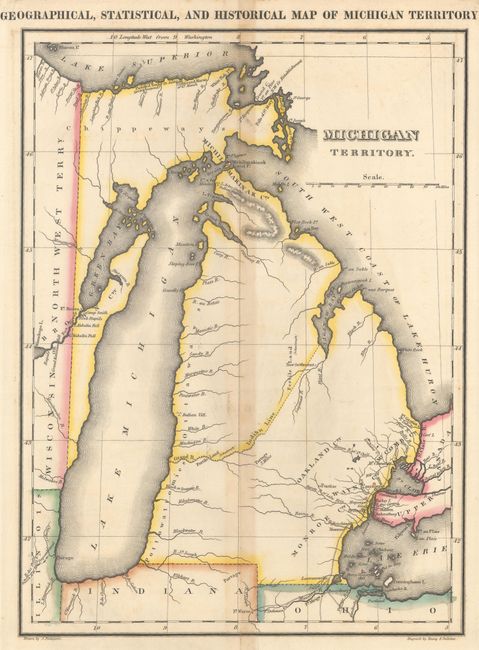
MapMaker: |
Carey & Lea
|
|
| |
| |
Subject: |
Michigan |
|
| |
Period/Size: |
1822 / 14.6" x 10.7" (37.1 x 27.2 cm)
|
|
| |
Color: |
Colored
|
|
| |
Condition: |
(B+) Original outline color with a centerfold separation at bottom that extends 1.5" into the image and an adjacent tear of similar size that have both been closed on verso with archival tape. Light toning along the centerfold. (condition help) |
|
| |
Source: |
A Complete Historical, Chronological, and Geographical American Atlas... |
|
| |
References: |
Phillips (Maps) p. 424; Karpinski #91 & p. 228. |
|
| |
|
|
| Sales Information |
| |
| |
Price: |
|
|
| |
| |
Offered by: |
Old World Auctions |
|
| |
Catalog: |
Auction No. 163 - Antique Maps, Charts, Atlases & Globes (9365) |
|
| |
Lot/Item #: |
316 |
|
| |
| |
Date: |
06/2017
|
|
| |
| |
|