Title:
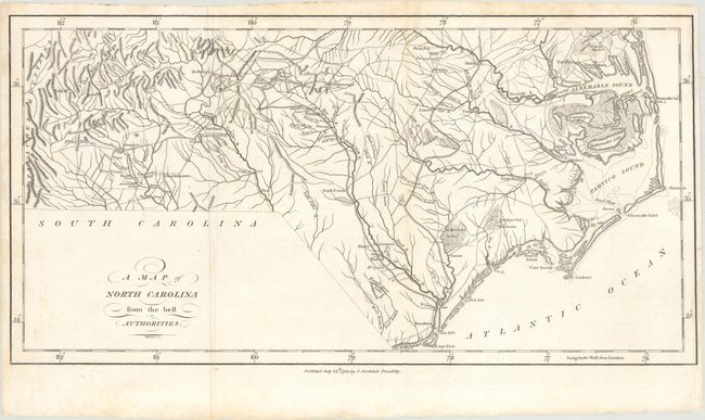
“A Map of North Carolina from the Best Authorities”
Map Maker:
Jedidiah Morse
This early, large-scale English map details geogra... (full text available to subscribers)
| Item Detail |
| |
| |
MapMaker: |
Jedidiah Morse
|
|
| |
| |
Subject: |
North Carolina |
|
| |
Period/Size: |
1794 / 8.6" x 16.8" (21.9 x 42.7 cm)
|
|
| |
Color: |
Black & White
|
|
| |
Condition: |
(B+) Issued folding, now flattened with minor toning and soiling. The neatline at right was cut off and has been professionally reattached. (condition help) |
|
| |
Source: |
The American Geography |
|
| |
References: |
Howes #M840; McCorkle (18th C. Geography Books) #302 [19]; Sabin #50924. |
|
| |
|
|
| Sales Information |
| |
| |
Price: |
|
|
| |
| |
Offered by: |
Old World Auctions |
|
| |
Catalog: |
Auction No. 163 - Antique Maps, Charts, Atlases & Globes (9365) |
|
| |
Lot/Item #: |
334 |
|
| |
| |
Date: |
06/2017
|
|
| |
| |
|
Antique Maps - Valuation and Pricing, Descriptions, Resources |
|
Home |
Information |
Search |
Register |
Contact Us |
Site Map
Americana Exchange, Inc. © 1999 - 2024 Americana Exchange, Inc.. All rights reserved.
OldMaps.com, the OldMaps.com logo and
AMPR are service marks or registered service marks of Americana Exchange, Inc..
|