| Item Detail |
| |
| |
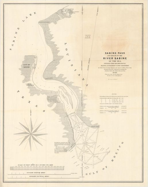
MapMaker: |
U.S. Government
|
|
| |
| |
Subject: |
Texas-Louisiana Border |
|
| |
Period/Size: |
1840 / 22.4" x 17.7" (56.9 x 45.0 cm)
|
|
| |
Color: |
Black & White
|
|
| |
Condition: |
(B+) Issued folding with a light stain at top right and a short edge tear at top that has been closed on verso with archival materials. (condition help) |
|
| |
Source: |
Sen. Ex. Doc. 199, 27th Cong., 2nd Sess. |
|
| |
References: |
Claussen & Friis #412; Day #952E; Martin & Martin p. 36. |
|
| |
|
|
| Sales Information |
| |
| |
Price: |
|
|
| |
| |
Offered by: |
Old World Auctions |
|
| |
Catalog: |
Auction No. 163 - Antique Maps, Charts, Atlases & Globes (9365) |
|
| |
Lot/Item #: |
366 |
|
| |
| |
Date: |
06/2017
|
|
| |
| |
|