| Item Detail |
| |
| |
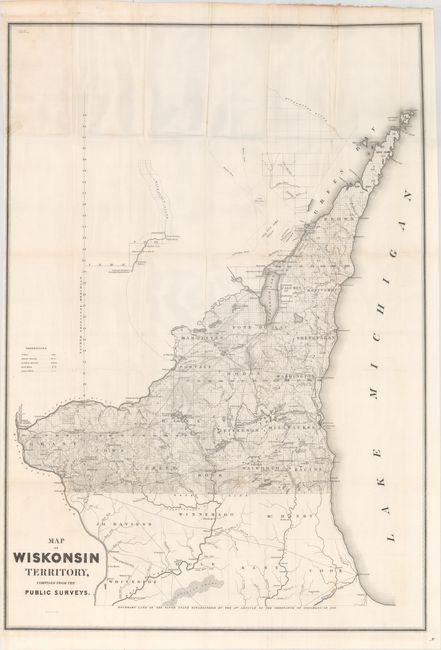
MapMaker: |
U.S. Government
|
|
| |
| |
Subject: |
Wisconsin |
|
| |
Period/Size: |
1839 / 34.7" x 24.1" (88.2 x 61.3 cm)
|
|
| |
Color: |
Black & White
|
|
| |
Condition: |
(B) Issued folding with a few faint spots, minor extraneous creasing, and a short edge tear at left that has been repaired on verso with cello tape, leaving a small stain visible on verso. (condition help) |
|
| |
Source: |
Sen. Doc. 140, 26th Congress, 1st Session |
|
| |
References: |
Claussen & Friis #329. |
|
| |
|
|
| Sales Information |
| |
| |
Price: |
|
|
| |
| |
Offered by: |
Old World Auctions |
|
| |
Catalog: |
Auction No. 163 - Antique Maps, Charts, Atlases & Globes (9365) |
|
| |
Lot/Item #: |
375 |
|
| |
| |
Date: |
06/2017
|
|
| |
| |
|