| Item Detail |
| |
| |
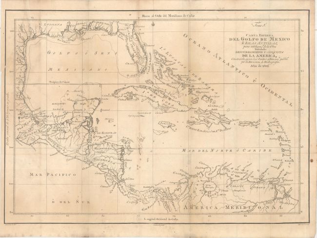
MapMaker: |
Gonzalez
|
|
| |
| |
Subject: |
Gulf of Mexico & Caribbean |
|
| |
Period/Size: |
1802 / 12.7" x 18.0" (32.3 x 45.8 cm)
|
|
| |
Color: |
Black & White
|
|
| |
Condition: |
(B+) Issued folding on watermarked paper with light toning and a 2.5" edge tear at top left that has been closed on verso with archival tape. (condition help) |
|
| |
Source: |
Descubrimiento y Conquista de la America... |
|
| |
References: |
|
|
| |
|
|
| Sales Information |
| |
| |
Price: |
|
|
| |
| |
Offered by: |
Old World Auctions |
|
| |
Catalog: |
Auction No. 163 - Antique Maps, Charts, Atlases & Globes (9365) |
|
| |
Lot/Item #: |
420 |
|
| |
| |
Date: |
06/2017
|
|
| |
| |
|