| Item Detail |
| |
| |
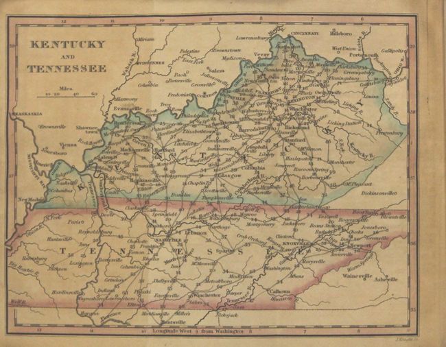
MapMaker: |
William Darby
|
|
| |
| |
Subject: |
Geography Books |
|
| |
Period/Size: |
1828 / 5.9" x 3.8" (15.0 x 9.7 cm)
|
|
| |
Color: |
Colored
|
|
| |
Condition: |
(B) Maps are toned with a little light offsetting and a few short fold separations, edge tears, and extraneous folds. Text is toned with scattered foxing. Covers scuffed, bumped, and nearly detached. Spine is sound. (condition help) |
|
| |
Source: |
|
|
| |
References: |
Howes #D67; Sabin #18535. |
|
| |
|
|
| Sales Information |
| |
| |
Price: |
|
|
| |
| |
Offered by: |
Old World Auctions |
|
| |
Catalog: |
Auction No. 163 - Antique Maps, Charts, Atlases & Globes (9365) |
|
| |
Lot/Item #: |
435 |
|
| |
| |
Date: |
06/2017
|
|
| |
| |
|