| Item Detail |
| |
| |
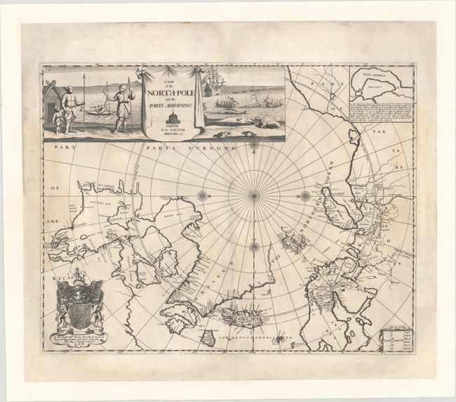
MapMaker: |
Moses Pitt
|
|
| |
| |
Subject: |
North Pole |
|
| |
Period/Size: |
1680 / 18.2" x 23.4" (46.3 x 59.5 cm)
|
|
| |
Color: |
Black & White
|
|
| |
Condition: |
(B) The map has been professionally conserved and backed with heavy canvas to reinforce and repair numerous centerfold separations. Chips to the bottom right and left corners of the sheet have been replaced with a small amount of border in facsimile. Ad (condition help) |
|
| |
Source: |
The English Atlas |
|
| |
References: |
Shirley (BL Atlases) T.PITT-1a #3; Kershaw #120. |
|
| |
|
|
| Sales Information |
| |
| |
Price: |
|
|
| |
| |
Offered by: |
Old World Auctions |
|
| |
Catalog: |
Auction No. 164 - Antique Maps, Charts, Atlases & Globes (9364) |
|
| |
Lot/Item #: |
34 |
|
| |
| |
Date: |
09/2017
|
|
| |
| |
|