| Item Detail |
| |
| |
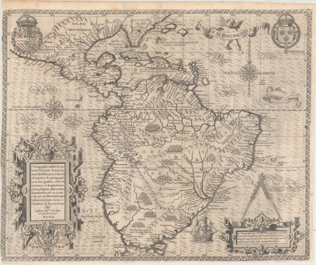
MapMaker: |
Theodore de Bry
|
|
| |
| |
Subject: |
Western Hemisphere - America |
|
| |
Period/Size: |
1592 / 14.4" x 17.6" (36.6 x 44.7 cm)
|
|
| |
Color: |
Black & White
|
|
| |
Condition: |
(B+) A clean and bright example, issued folding and now flattened, with a short printer's crease at top center. There are professional repairs to two 1/2" fold separations, a tiny hole at bottom right, and a tiny chip and tear at bottom center. The left (condition help) |
|
| |
Source: |
Grand Voyages |
|
| |
References: |
Burden #80; Garratt (TMC-9) #G-3. |
|
| |
|
|
| Sales Information |
| |
| |
Price: |
|
|
| |
| |
Offered by: |
Old World Auctions |
|
| |
Catalog: |
Auction No. 164 - Antique Maps, Charts, Atlases & Globes (9364) |
|
| |
Lot/Item #: |
46 |
|
| |
| |
Date: |
09/2017
|
|
| |
| |
|