| Item Detail |
| |
| |
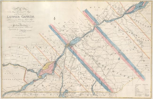
MapMaker: |
Amos Lay
|
|
| |
| |
Subject: |
Eastern Canada, Quebec |
|
| |
Period/Size: |
1814 / 21.6" x 33.1" (54.9 x 84.1 cm)
|
|
| |
Color: |
Colored
|
|
| |
Condition: |
(B) Issued folding and now flattened and professionally backed with heavy tissue to repair numerous fold separations, a 10" tear at right, and 4" tears at left and right. There is a small repaired chip along the left border with the "i" in District in fa (condition help) |
|
| |
Source: |
|
|
| |
References: |
Phillips (Maps) p. 195. |
|
| |
|
|
| Sales Information |
| |
| |
Price: |
|
|
| |
| |
Offered by: |
Old World Auctions |
|
| |
Catalog: |
Auction No. 164 - Antique Maps, Charts, Atlases & Globes (9364) |
|
| |
Lot/Item #: |
100 |
|
| |
| |
Date: |
09/2017
|
|
| |
| |
|