| Item Detail |
| |
| |
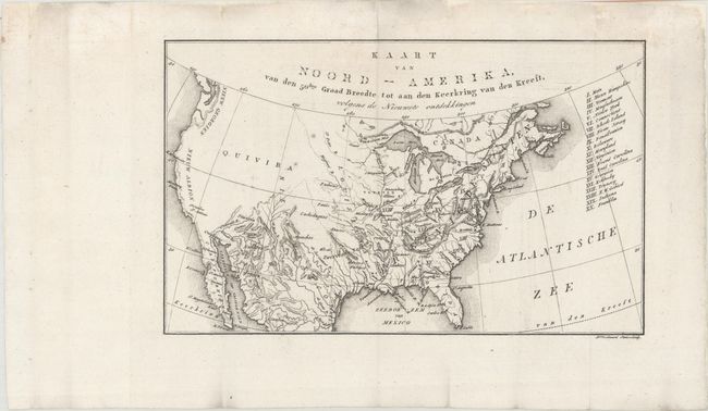
MapMaker: |
Eberhard August Wilhem von Zimmerman
|
|
| |
| |
Subject: |
United States, Franklin |
|
| |
Period/Size: |
1818 / 6.5" x 10.6" (16.6 x 27.0 cm)
|
|
| |
Color: |
Black & White
|
|
| |
Condition: |
(A) Issued folding on a watermarked sheet, now flattened and backed in archival tissue, with some small chips and tears confined to the blank margins that have been archivally repaired. (condition help) |
|
| |
Source: |
De Aarde en Hare Bewoners, Volgens de Nieuwste Ontdekkingen... |
|
| |
References: |
cf. Dotson & Baker (Old World Auctions - State of Franklin Maps) #21. |
|
| |
|
|
| Sales Information |
| |
| |
Price: |
|
|
| |
| |
Offered by: |
Old World Auctions |
|
| |
Catalog: |
Auction No. 164 - Antique Maps, Charts, Atlases & Globes (9364) |
|
| |
Lot/Item #: |
126 |
|
| |
| |
Date: |
09/2017
|
|
| |
| |
|