| Item Detail |
| |
| |
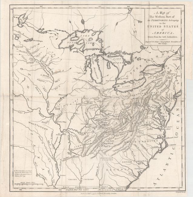
MapMaker: |
Thomas Conder
|
|
| |
| |
Subject: |
Eastern United States |
|
| |
Period/Size: |
1793 / 13.9" x 13.1" (35.3 x 33.3 cm)
|
|
| |
Color: |
Black & White
|
|
| |
Condition: |
(B) Issued folding with light soiling, a number of extraneous creases, and professional repairs to some small separations and tiny tears along the folds. There is a binding trim at bottom right and an adjacent 4.5" binding tear that has been professional (condition help) |
|
| |
Source: |
A Topographical Description of the Western Territory of North America |
|
| |
References: |
|
|
| |
|
|
| Sales Information |
| |
| |
Price: |
|
|
| |
| |
Offered by: |
Old World Auctions |
|
| |
Catalog: |
Auction No. 164 - Antique Maps, Charts, Atlases & Globes (9364) |
|
| |
Lot/Item #: |
147 |
|
| |
| |
Date: |
09/2017
|
|
| |
| |
|