| Item Detail |
| |
| |
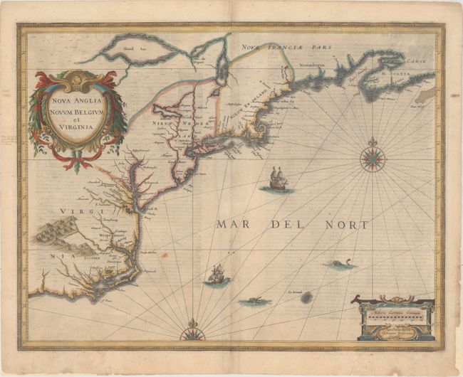
MapMaker: |
Jan Jansson
|
|
| |
| |
Subject: |
Colonial New England & Mid-Atlantic United States |
|
| |
Period/Size: |
1636 / 15.3" x 19.7" (38.9 x 50.1 cm)
|
|
| |
Color: |
Colored
|
|
| |
Condition: |
(B+) There is light show-through of text on verso, a small spot east of the Outer Banks, and a printer's crease to the left of the centerfold. Some chips and tears in the blank margins have been archivally repaired. (condition help) |
|
| |
Source: |
Appendix Atlantis |
|
| |
References: |
Burden #247; Cumming (SE) #39; Karpinski, p. 26 & 31 plt. II; McCorkle #636.2; Van der Krogt (Vol. I |
|
| |
|
|
| Sales Information |
| |
| |
Price: |
|
|
| |
| |
Offered by: |
Old World Auctions |
|
| |
Catalog: |
Auction No. 164 - Antique Maps, Charts, Atlases & Globes (9364) |
|
| |
Lot/Item #: |
159 |
|
| |
| |
Date: |
09/2017
|
|
| |
| |
|