| Item Detail |
| |
| |
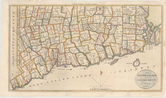
MapMaker: |
Jedidiah Morse
|
|
| |
| |
Subject: |
Connecticut & Rhode Island |
|
| |
Period/Size: |
1796 / 7.6" x 13.3" (19.3 x 33.8 cm)
|
|
| |
Color: |
Colored
|
|
| |
Condition: |
(B+) Issued folding, now flattened with archival repairs to a few small chips and tears along the edges of the sheet, with several of the repaired tears entering less than 1/2" into the image. (condition help) |
|
| |
Source: |
The American Universal Geography |
|
| |
References: |
McCorkle (18th C. Geography Books) #304-6; Wheat & Brun #287. |
|
| |
|
|
| Sales Information |
| |
| |
Price: |
|
|
| |
| |
Offered by: |
Old World Auctions |
|
| |
Catalog: |
Auction No. 164 - Antique Maps, Charts, Atlases & Globes (9364) |
|
| |
Lot/Item #: |
166 |
|
| |
| |
Date: |
09/2017
|
|
| |
| |
|