| Item Detail |
| |
| |
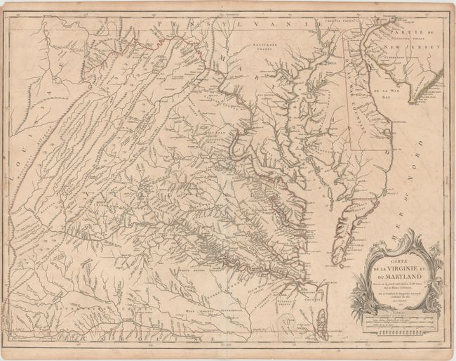
MapMaker: |
Didier Robert de Vaugondy
|
|
| |
| |
Subject: |
Colonial Mid-Atlantic United States |
|
| |
Period/Size: |
1755 / 19.1" x 25.4" (48.6 x 64.6 cm)
|
|
| |
Color: |
Colored
|
|
| |
Condition: |
(B) Original outline color on watermarked paper with light offsetting, minor toning, and a few tiny tears that have been closed on verso with archival tape. Narrow left and right margins. There are small remnants of mat board on verso in the very top co (condition help) |
|
| |
Source: |
Atlas Universal |
|
| |
References: |
cf. Cumming (SE) #281; Pedley #470; Phillips (M) p. 49; Sellers & Van Ee #1432. |
|
| |
|
|
| Sales Information |
| |
| |
Price: |
|
|
| |
| |
Offered by: |
Old World Auctions |
|
| |
Catalog: |
Auction No. 164 - Antique Maps, Charts, Atlases & Globes (9364) |
|
| |
Lot/Item #: |
170 |
|
| |
| |
Date: |
09/2017
|
|
| |
| |
|