| Item Detail |
| |
| |
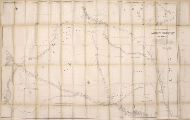
MapMaker: |
Gouverneur Kemble Warren
|
|
| |
| |
Subject: |
Exploration, Dakotas |
|
| |
Period/Size: |
1856 / 9.0" x 5.7" (22.9 x 14.5 cm)
|
|
| |
Color: |
Black & White
|
|
| |
Condition: |
(B) The large folding map has light toning and numerous splits at fold intersections with only minor loss at the junctions. The medium-sized folding map has light toning and a binding trim at lower left that has been cut to just inside the neatline. Dis (condition help) |
|
| |
Source: |
Sen. Ex. Doc. No. 76, 34th Congress, 1st Session |
|
| |
References: |
Howes #W118; Wagner-Camp #283; Wheat (TMW) #871. |
|
| |
|
|
| Sales Information |
| |
| |
Price: |
|
|
| |
| |
Offered by: |
Old World Auctions |
|
| |
Catalog: |
Auction No. 164 - Antique Maps, Charts, Atlases & Globes (9364) |
|
| |
Lot/Item #: |
197 |
|
| |
| |
Date: |
09/2017
|
|
| |
| |
|