| Item Detail |
| |
| |
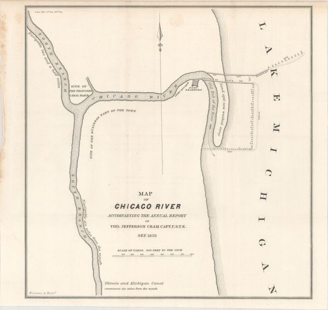
MapMaker: |
Thomas Jefferson (Capt.) Cram
|
|
| |
| |
Subject: |
Chicago, Illinois, Lake Michigan |
|
| |
Period/Size: |
1840 / 10.9" x 10.7" (27.7 x 27.2 cm)
|
|
| |
Color: |
Black & White
|
|
| |
Condition: |
(A) The map is clean and bright with just a hint of offsetting and one faint spot. Dog-eared at bottom left where the map folded into the report. (condition help) |
|
| |
Source: |
Sen. Doc. 140, 26th Congress, 1st Session |
|
| |
References: |
Claussen & Friis #331. |
|
| |
|
|
| Sales Information |
| |
| |
Price: |
|
|
| |
| |
Offered by: |
Old World Auctions |
|
| |
Catalog: |
Auction No. 164 - Antique Maps, Charts, Atlases & Globes (9364) |
|
| |
Lot/Item #: |
275 |
|
| |
| |
Date: |
09/2017
|
|
| |
| |
|