| Item Detail |
| |
| |
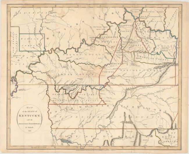
MapMaker: |
John Russell
|
|
| |
| |
Subject: |
Kentucky & Tennessee |
|
| |
Period/Size: |
1794 / 14.9" x 17.8" (37.9 x 45.3 cm)
|
|
| |
Color: |
Colored
|
|
| |
Condition: |
(B+) Issued folded, now flattened, with several old paper repairs to the folds on verso and a few small areas of toning. There is some offsetting and minor soil in the map. (condition help) |
|
| |
Source: |
An American Atlas… |
|
| |
References: |
Phillips (Atlases) p. 752; Phillips (Maps) p. 350. |
|
| |
|
|
| Sales Information |
| |
| |
Price: |
|
|
| |
| |
Offered by: |
Old World Auctions |
|
| |
Catalog: |
Auction No. 164 - Antique Maps, Charts, Atlases & Globes (9364) |
|
| |
Lot/Item #: |
277 |
|
| |
| |
Date: |
09/2017
|
|
| |
| |
|