| Item Detail |
| |
| |
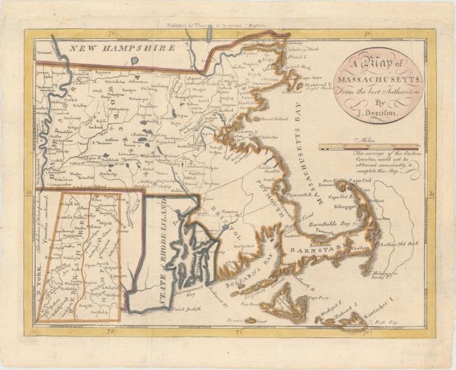
MapMaker: |
Jedidiah Morse
|
|
| |
| |
Subject: |
Massachusetts |
|
| |
Period/Size: |
1796 / 7.5" x 9.8" (19.1 x 24.9 cm)
|
|
| |
Color: |
Colored
|
|
| |
Condition: |
(A) Issued folding, now flattened, with a few tiny edge tears that have been archivally repaired. The top margin has been extended with period-correct paper to accommodate framing. (condition help) |
|
| |
Source: |
The American Universal Geography |
|
| |
References: |
McCorkle (18th C. Geography Books) #304-5; Wheat & Brun #218. |
|
| |
|
|
| Sales Information |
| |
| |
Price: |
|
|
| |
| |
Offered by: |
Old World Auctions |
|
| |
Catalog: |
Auction No. 164 - Antique Maps, Charts, Atlases & Globes (9364) |
|
| |
Lot/Item #: |
288 |
|
| |
| |
Date: |
09/2017
|
|
| |
| |
|