| Item Detail |
| |
| |
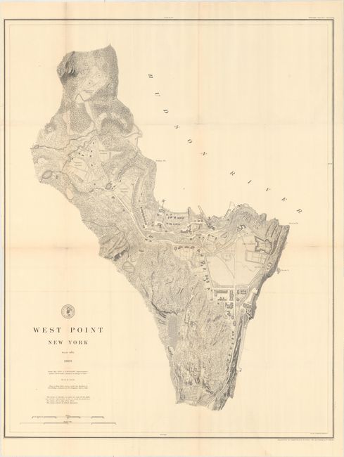
MapMaker: |
U.S. Coast & Geodetic Survey
|
|
| |
| |
Subject: |
West Point, New York |
|
| |
Period/Size: |
1883 / 28.7" x 22.7" (72.9 x 57.7 cm)
|
|
| |
Color: |
Black & White
|
|
| |
Condition: |
(B+) A dark impression with several short fold separations that have been closed on verso with archival tape. There is a small abrasion just above Delafield Reservoir and a bit of offsetting of the map border. Issued folding. (condition help) |
|
| |
Source: |
|
|
| |
References: |
|
|
| |
|
|
| Sales Information |
| |
| |
Price: |
|
|
| |
| |
Offered by: |
Old World Auctions |
|
| |
Catalog: |
Auction No. 164 - Antique Maps, Charts, Atlases & Globes (9364) |
|
| |
Lot/Item #: |
312 |
|
| |
| |
Date: |
09/2017
|
|
| |
| |
|