| Item Detail |
| |
| |
MapMaker: |
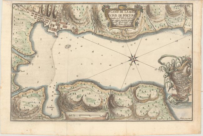
Antonio de [Alonso] Ulloa
|
|
| |
| |
Subject: |
Portobelo, Panama |
|
| |
Period/Size: |
1748 / 8.6" x 13.3" (21.9 x 33.8 cm)
|
|
| |
Color: |
Colored
|
|
| |
Condition: |
(B+) A nice impression, issued folding on paper with a coat of arms watermark. There is a hint of offsetting, one small stain at bottom right, and light toning along the edges of the sheet. (condition help) |
|
| |
Source: |
Relacion Historia del Viaje a la America... |
|
| |
References: |
Kapp (MCC-73) #73; Shirley (BL Atlases) G.ULL-1a #3. |
|
| |
|
|
| Sales Information |
| |
| |
Price: |
|
|
| |
| |
Offered by: |
Old World Auctions |
|
| |
Catalog: |
Auction No. 164 - Antique Maps, Charts, Atlases & Globes (9364) |
|
| |
Lot/Item #: |
370 |
|
| |
| |
Date: |
09/2017
|
|
| |
| |
|