| Item Detail |
| |
| |
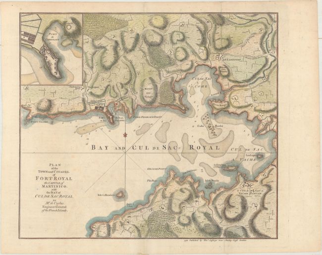
MapMaker: |
Thomas Jefferys
|
|
| |
| |
Subject: |
Fort-de-France, Martinique |
|
| |
Period/Size: |
1760 / 12.3" x 14.1" (31.3 x 35.9 cm)
|
|
| |
Color: |
Colored
|
|
| |
Condition: |
(B+) Issued folding, now flattened on paper with a fleur-de-lis watermark, faint offsetting, and light scattered foxing. (condition help) |
|
| |
Source: |
The Natural and Civil History of the French Dominions in North and South America |
|
| |
References: |
Shirley (BL Atlases) G.JEF-1a #15. |
|
| |
|
|
| Sales Information |
| |
| |
Price: |
|
|
| |
| |
Offered by: |
Old World Auctions |
|
| |
Catalog: |
Auction No. 164 - Antique Maps, Charts, Atlases & Globes (9364) |
|
| |
Lot/Item #: |
400 |
|
| |
| |
Date: |
09/2017
|
|
| |
| |
|