| Item Detail |
| |
| |
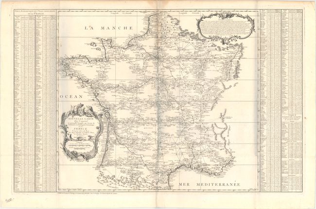
MapMaker: |
Cassini de Thury [Family]
|
|
| |
| |
Subject: |
France |
|
| |
Period/Size: |
1744 / 22.7" x 35.6" (57.7 x 90.5 cm)
|
|
| |
Color: |
Black & White
|
|
| |
Condition: |
(B+) A nice impression issued folding on watermarked paper with two small holes at fold intersections, a couple of small spots, and a faint damp stain along the centerfold at top. There are bluish vertical shadows in the image that are caused by our scan (condition help) |
|
| |
Source: |
|
|
| |
References: |
cf. Shirley (BL Atlases) T.CASS-1a. |
|
| |
|
|
| Sales Information |
| |
| |
Price: |
|
|
| |
| |
Offered by: |
Old World Auctions |
|
| |
Catalog: |
Auction No. 164 - Antique Maps, Charts, Atlases & Globes (9364) |
|
| |
Lot/Item #: |
512 |
|
| |
| |
Date: |
09/2017
|
|
| |
| |
|