Title:
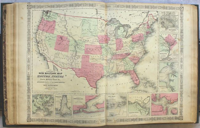
“Johnson's New Illustrated (Steel Plate) Family Atlas, with Physical Geography, and with Descriptions Geographical, Statistical, and Historical...”
Map Maker:
Johnson & Ward
This complete atlas contains 66 beautifully render... (full text available to subscribers)
| Item Detail |
| |
| |
MapMaker: |
Johnson & Ward
|
|
| |
| |
Subject: |
Atlases, world |
|
| |
Period/Size: |
1864 / 18.6" x 14.8" (47.3 x 37.6 cm)
|
|
| |
Color: |
Colored
|
|
| |
Condition: |
(B) Overall the maps are good to very good with light toning, minor foxing and staining, and occasional fold separations or edge tears that have been archivally repaired. There are pencil notations in the front free endpaper, and the spine has been repla (condition help) |
|
| |
Source: |
|
|
| |
References: |
|
|
| |
|
|
| Sales Information |
| |
| |
Price: |
|
|
| |
| |
Offered by: |
Old World Auctions |
|
| |
Catalog: |
Auction No. 164 - Antique Maps, Charts, Atlases & Globes (9364) |
|
| |
Lot/Item #: |
760 |
|
| |
| |
Date: |
09/2017
|
|
| |
| |
|
Antique Maps - Valuation and Pricing, Descriptions, Resources |
|
Home |
Information |
Search |
Register |
Contact Us |
Site Map
Americana Exchange, Inc. © 1999 - 2024 Americana Exchange, Inc.. All rights reserved.
OldMaps.com, the OldMaps.com logo and
AMPR are service marks or registered service marks of Americana Exchange, Inc..
|