| Item Detail |
| |
| |
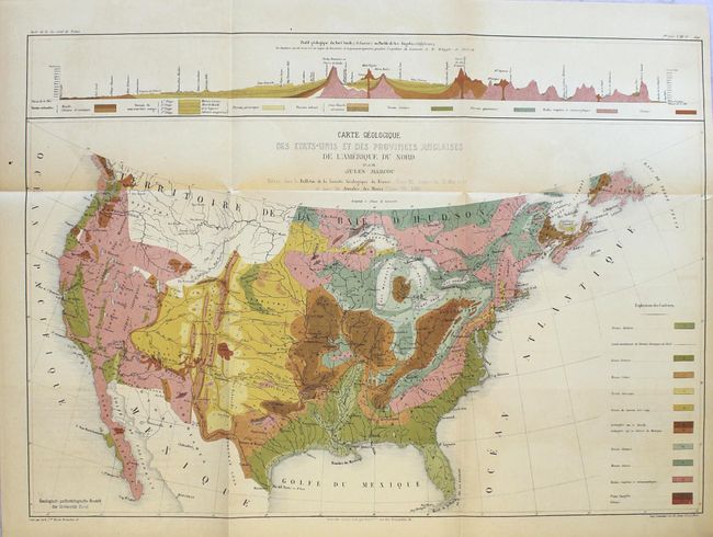
MapMaker: |
Jules Marcou
|
|
| |
| |
Subject: |
Books with maps, geology western U.S. |
|
| |
Period/Size: |
1858 / 12.6" x 9.7" (32.0 x 24.7 cm)
|
|
| |
Color: |
Colored
|
|
| |
Condition: |
(B+) The folding map is very good with light toning, a very short binding tear at right that just passes the border, and a library stamp in the image at lower left. The two smaller maps and plates are also very good with light scattered foxing. Text is (condition help) |
|
| |
Source: |
|
|
| |
References: |
Marcou #49. |
|
| |
|
|
| Sales Information |
| |
| |
Price: |
|
|
| |
| |
Offered by: |
Old World Auctions |
|
| |
Catalog: |
Auction No. 164 - Antique Maps, Charts, Atlases & Globes (9364) |
|
| |
Lot/Item #: |
782 |
|
| |
| |
Date: |
09/2017
|
|
| |
| |
|