| Item Detail |
| |
| |
MapMaker: |
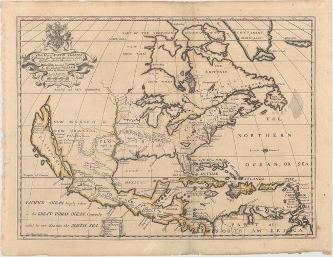
Edward Wells
|
|
| |
| |
Subject: |
Colonial North America |
|
| |
Period/Size: |
1704 / 14.5" x 19.3" (36.9 x 49.1 cm)
|
|
| |
Color: |
Colored
|
|
| |
Condition: |
(B+) A fine impression with light toning, minor soiling, a few soft extraneous creases, and an archivally repaired tear at bottom. There are several small chips and tears in the blank margins. (condition help) |
|
| |
Source: |
A New Sett of Maps both of Antient and Present Geography... |
|
| |
References: |
Burden #758; McLaughlin #142; cf. Shirley (BL Atlases) T.WELL-1a #39; Tooley (Amer) p. 128, #69, plt |
|
| |
|
|
| Sales Information |
| |
| |
Price: |
|
|
| |
| |
Offered by: |
Old World Auctions |
|
| |
Catalog: |
Auction No. 165 - Antique Maps, Charts, Atlases & Globes (9380) |
|
| |
Lot/Item #: |
63 |
|
| |
| |
Date: |
11/2017
|
|
| |
| |
|