| Item Detail |
| |
| |
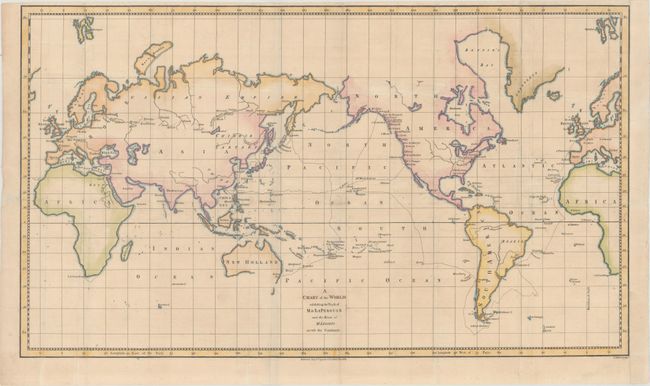
MapMaker: |
John Stockdale
|
|
| |
| |
Subject: |
World |
|
| |
Period/Size: |
1798 / 14.1" x 24.3" (35.9 x 61.8 cm)
|
|
| |
Color: |
Colored
|
|
| |
Condition: |
(B+) Issued folding, now flattened, with archival repairs to some minor separations along the folds. There is light soiling and the right margin has been extended to accommodate framing. The top margin is narrow but adequate for framing. There is a blu (condition help) |
|
| |
Source: |
The Voyage of La Perouse Round the World |
|
| |
References: |
Perry & Prescott #1798.13. |
|
| |
|
|
| Sales Information |
| |
| |
Price: |
|
|
| |
| |
Offered by: |
Old World Auctions |
|
| |
Catalog: |
Auction No. 165 - Antique Maps, Charts, Atlases & Globes (9380) |
|
| |
Lot/Item #: |
23 |
|
| |
| |
Date: |
11/2017
|
|
| |
| |
|