| Item Detail |
| |
| |
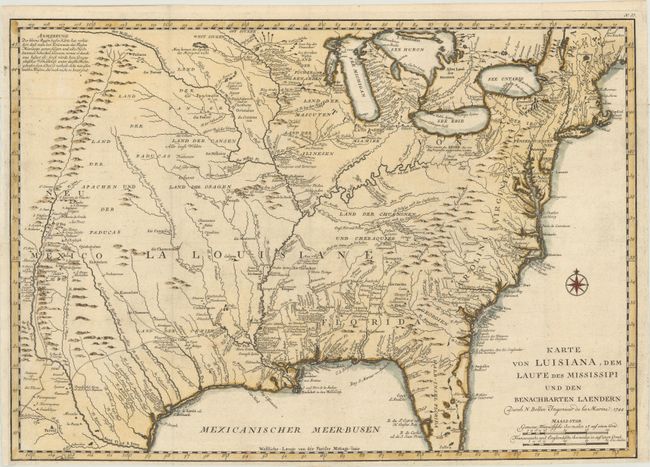
MapMaker: |
Jacques Nicolas Bellin
|
|
| |
| |
Subject: |
Colonial Eastern United States |
|
| |
Period/Size: |
1744 / 15.5" x 22.0" (39.4 x 55.9 cm)
|
|
| |
Color: |
Colored
|
|
| |
Condition: |
(A) A crisp impression on a clean, bright sheet of paper with the watermarks of a Strasbourg Lily and the initials "AD." A binding trim at left has been replaced with period-correct paper. The bottom margin is narrow, but ample for framing. (condition help) |
|
| |
Source: |
Allegmeine Historie der Reisen zu Wasser und zu Lande |
|
| |
References: |
Brown (Ohio) pp. 69-70; cf. McCorkle #744-1; cf. Tooley (MCC-96) #703. |
|
| |
|
|
| Sales Information |
| |
| |
Price: |
|
|
| |
| |
Offered by: |
Old World Auctions |
|
| |
Catalog: |
Auction No. 165 - Antique Maps, Charts, Atlases & Globes (9380) |
|
| |
Lot/Item #: |
115 |
|
| |
| |
Date: |
11/2017
|
|
| |
| |
|