| Item Detail |
| |
| |
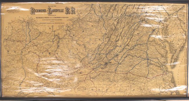
MapMaker: |
G.W. & C.B Colton [& Co.]
|
|
| |
| |
Subject: |
Virginia, West Virginia, Kentucky |
|
| |
Period/Size: |
1882 / 25.5" x 50.0" (64.8 x 127.0 cm)
|
|
| |
Color: |
Colored
|
|
| |
Condition: |
(B+) An overall nice, clean example with a few small chips and a 2" tear along the top neatline, resulting in some minor loss of image. Rollers are present and intact. (condition help) |
|
| |
Source: |
|
|
| |
References: |
Modelski #546; Phillips (Maps) p. 749. |
|
| |
|
|
| Sales Information |
| |
| |
Price: |
|
|
| |
| |
Offered by: |
Old World Auctions |
|
| |
Catalog: |
Auction No. 165 - Antique Maps, Charts, Atlases & Globes (9380) |
|
| |
Lot/Item #: |
145 |
|
| |
| |
Date: |
11/2017
|
|
| |
| |
|