| Item Detail |
| |
| |
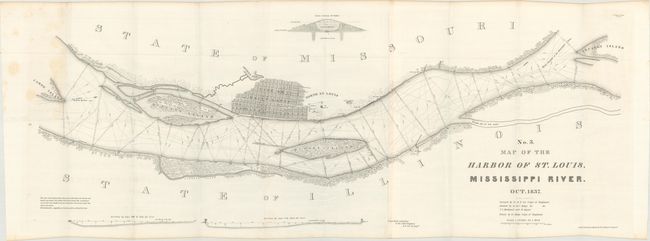
MapMaker: |
Robert Edward Lee
|
|
| |
| |
Subject: |
St. Louis, Missouri |
|
| |
Period/Size: |
1837 / 15.3" x 41.3" (38.9 x 104.9 cm)
|
|
| |
Color: |
Black & White
|
|
| |
Condition: |
(A) Mostly clean and bright, issued folding. There are a few faint spots of foxing at top left, mainly in blank space. (condition help) |
|
| |
Source: |
Sen. Doc. 139, 25th Congress, 2nd Session |
|
| |
References: |
Claussen & Friis #191; Phillips (Maps) p. 764. |
|
| |
|
|
| Sales Information |
| |
| |
Price: |
|
|
| |
| |
Offered by: |
Old World Auctions |
|
| |
Catalog: |
Auction No. 165 - Antique Maps, Charts, Atlases & Globes (9380) |
|
| |
Lot/Item #: |
265 |
|
| |
| |
Date: |
11/2017
|
|
| |
| |
|