| Item Detail |
| |
| |
MapMaker: |
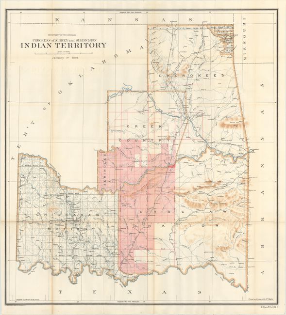
U.S. Department of Interior
|
|
| |
| |
Subject: |
Oklahoma |
|
| |
Period/Size: |
1896 / 28.7" x 26.7" (72.9 x 67.9 cm)
|
|
| |
Color: |
Colored
|
|
| |
Condition: |
(B+) Issued folding with a bit of light toning at the bottom of the left fold and faint offsetting of the title. There is a 2.5" edge tear at left that has been closed on verso with archival tape. Disbound text is very good. (condition help) |
|
| |
Source: |
HR Doc. 243, 54th Cong., 1st Sess. |
|
| |
References: |
|
|
| |
|
|
| Sales Information |
| |
| |
Price: |
|
|
| |
| |
Offered by: |
Old World Auctions |
|
| |
Catalog: |
Auction No. 165 - Antique Maps, Charts, Atlases & Globes (9380) |
|
| |
Lot/Item #: |
284 |
|
| |
| |
Date: |
11/2017
|
|
| |
| |
|