| Item Detail |
| |
| |
MapMaker: |
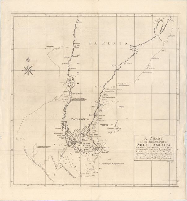
George Anson
|
|
| |
| |
Subject: |
Southern South America |
|
| |
Period/Size: |
1748 / 19.7" x 19.1" (50.1 x 48.6 cm)
|
|
| |
Color: |
Black & White
|
|
| |
Condition: |
(B+) A fine impression, issued folding, with some crumpling of the paper near the title cartouche and in the blank margins. There is a small worm hole in an unengraved area of the map, and a few short fold separations confined to the blank margins. (condition help) |
|
| |
Source: |
A Voyage Round the World |
|
| |
References: |
Shirley (BL Atlases) G.ANS-1a #2. |
|
| |
|
|
| Sales Information |
| |
| |
Price: |
|
|
| |
| |
Offered by: |
Old World Auctions |
|
| |
Catalog: |
Auction No. 165 - Antique Maps, Charts, Atlases & Globes (9380) |
|
| |
Lot/Item #: |
395 |
|
| |
| |
Date: |
11/2017
|
|
| |
| |
|