| Item Detail |
| |
| |
MapMaker: |
Christophe Nicolas Tassin
|
|
| |
| |
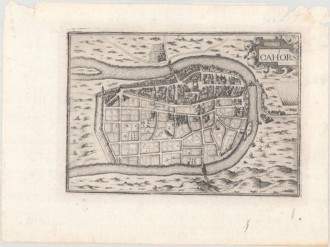
Subject: |
Cahors, France |
|
| |
Period/Size: |
1634 / 4.2" x 6.0" (10.7 x 15.3 cm)
|
|
| |
Color: |
Black & White
|
|
| |
Condition: |
(A) A crisp impression with some paper weakness in the top corners of the sheet, causing several short tears and chips confined to the blank margin. Remnants of hinge tape on verso. (condition help) |
|
| |
Source: |
Les Plans et Profils de Toutes les Principales Villes et Lieux Considerables de |
|
| |
References: |
Pastoureau, TASSIN VIII-7 [21]. |
|
| |
|
|
| Sales Information |
| |
| |
Price: |
|
|
| |
| |
Offered by: |
Old World Auctions |
|
| |
Catalog: |
Auction No. 165 - Antique Maps, Charts, Atlases & Globes (9380) |
|
| |
Lot/Item #: |
490 |
|
| |
| |
Date: |
11/2017
|
|
| |
| |
|