| Item Detail |
| |
| |
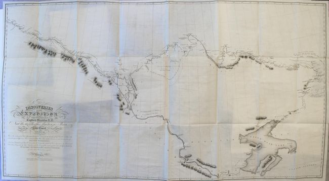
MapMaker: |
John Franklin
|
|
| |
| |
Subject: |
Exploration & Surveys, Arctic |
|
| |
Period/Size: |
1828 / 10.8" x 8.6" (27.5 x 21.9 cm)
|
|
| |
Color: |
Black & White
|
|
| |
Condition: |
(A) The maps are near fine with occasional light offsetting and a few short binding tears at left. Plates are mostly clean and bright with occasional foxing, and the text is pleasantly toned. New binding has only light wear with the original backstrip p (condition help) |
|
| |
Source: |
|
|
| |
References: |
Sabin #25628. |
|
| |
|
|
| Sales Information |
| |
| |
Price: |
|
|
| |
| |
Offered by: |
Old World Auctions |
|
| |
Catalog: |
Auction No. 165 - Antique Maps, Charts, Atlases & Globes (9380) |
|
| |
Lot/Item #: |
777 |
|
| |
| |
Date: |
11/2017
|
|
| |
| |
|